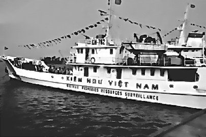
In partnership with Meaintuis (France), F&S has completed a study on the definition of the Bien Dong Project. Oceanographic, biogeochemical and environmental data will be collected, in particular through satellite imagery
Data will be processed through dedicated downstream applications and mapped by GIS softwares. Applications reflect concerns of Viet Nam Authorities : oil spills, illegal fishing, coastal erosion, impact of climate change on Delta areas, aquaculture, etc.
This assignment was completed in October 2014 and jointly funded by the French Development Agency and the Viet Nam Ministry of Environment.


 English
 Français